Welcome
DCD2 Rezoning Approved by City Council
City Council has approved Official Community Plan and Zoning Bylaw amendments to rezone and repeal the Direct Control District 2 (DCD2).
The amendments are now being reviewed by the Government of Saskatchewan - Minister of Government Relations, which will likely take one month, after which the new zoning will be officially in place.
For more information on what this means for your property please refer to:
- The Report, Bylaws and Appendices presented to City Council Public Hearing on March 26 (items 6.1.3 to 6.1.5).
- Presentation and Q&A at online information meeting on January 16.
- For development inquiries, please contact: development.services@saskatoon.ca
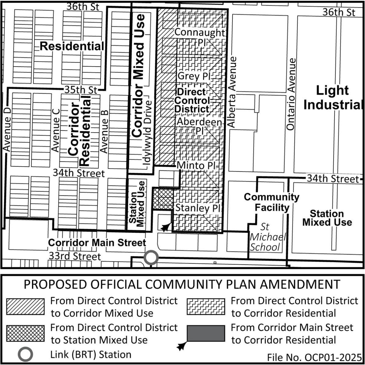
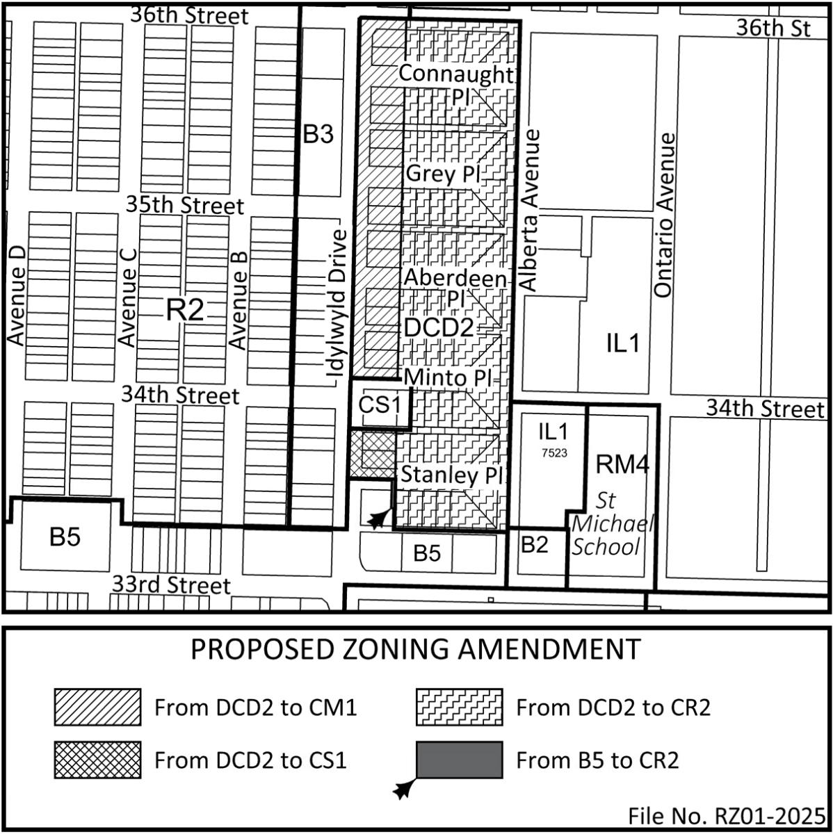
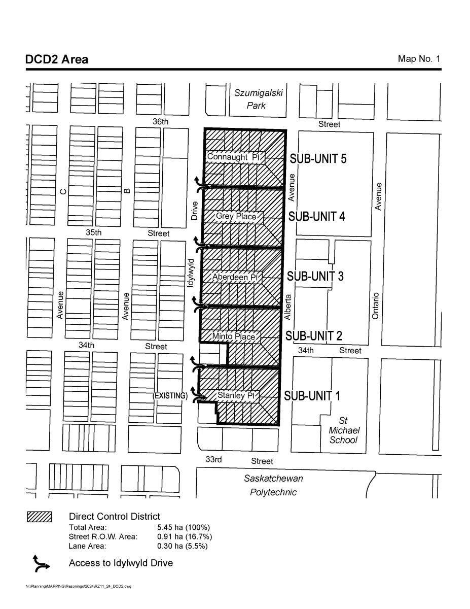
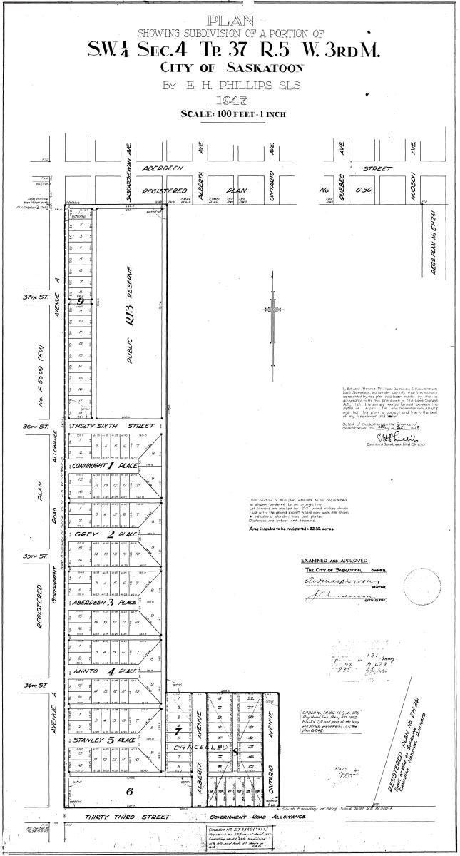
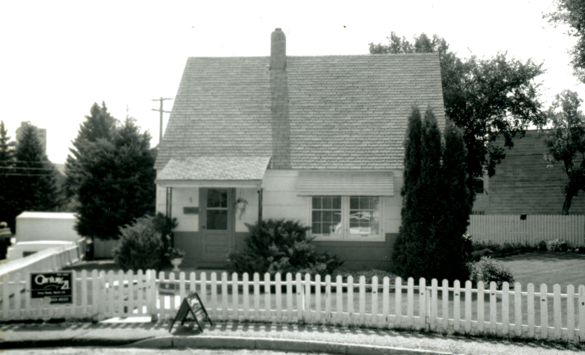
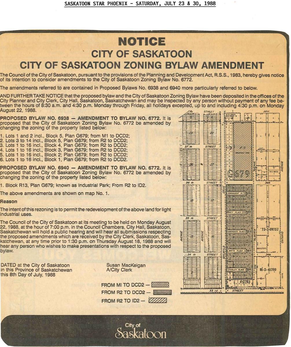
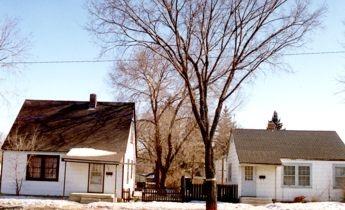
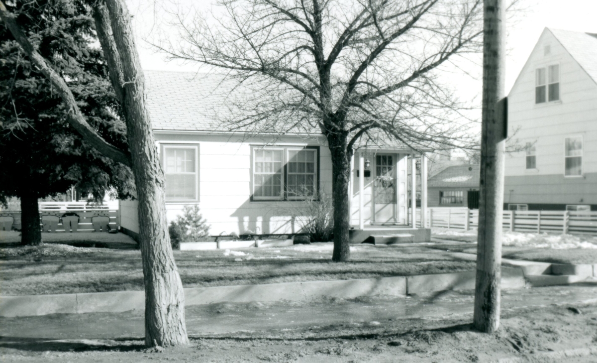
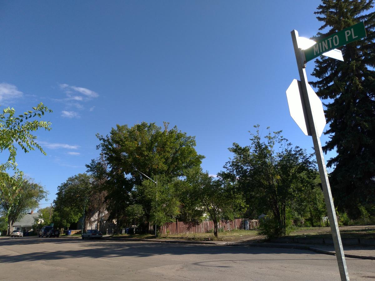
The City of Saskatoon has approved changes to the zoning and land use regulations for the Direct Control District 2 (DCD2) area, consisting of the culs-de-sac of Stanley Place, Minto Place, Aberdeen Place, Grey Place, and Connaught Place, as well as sites in the 1200 to 1400 blocks on the east side of Idylwyld Drive North.